top of page
Budapest in QGIS
Date: Fall 2025
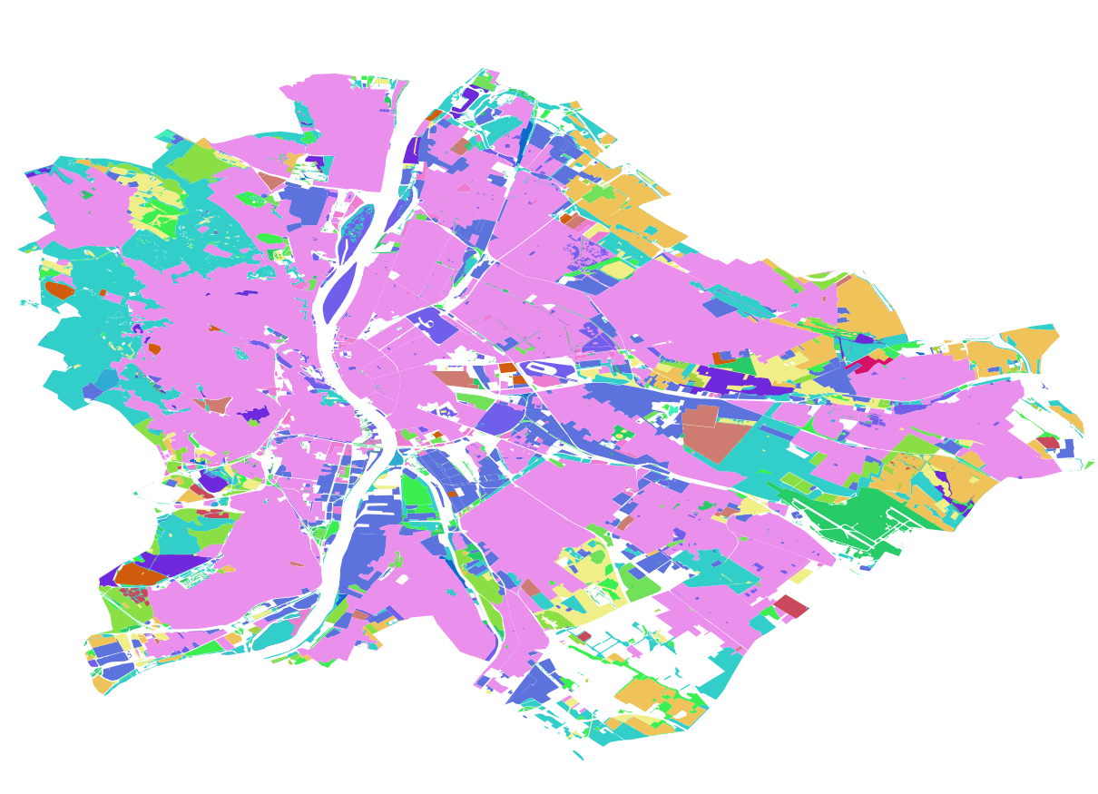
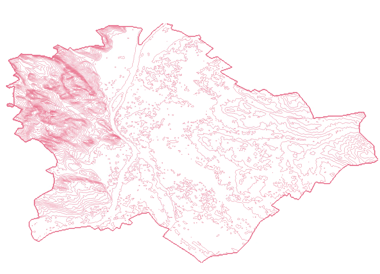
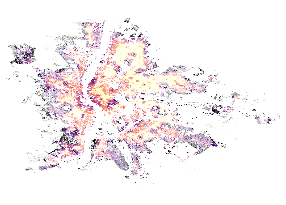
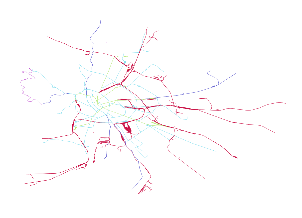
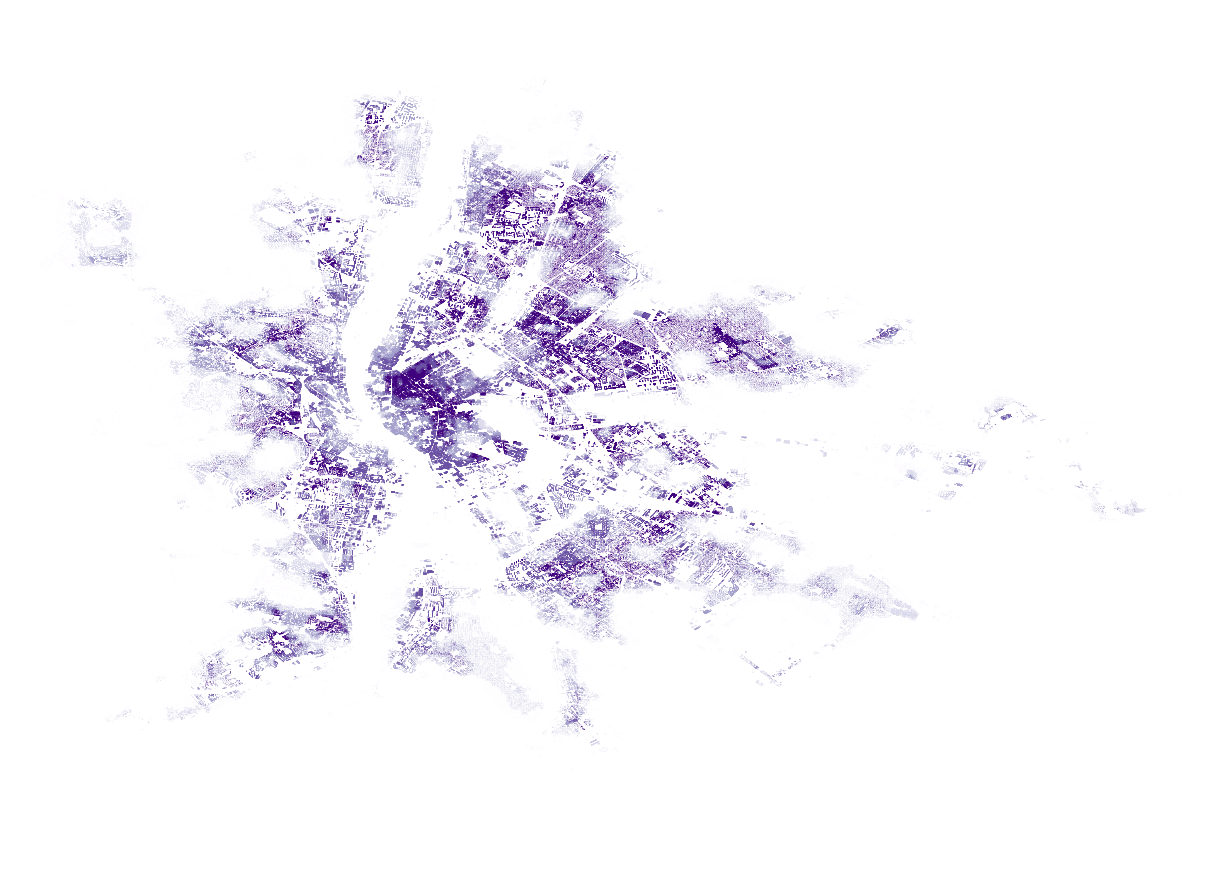
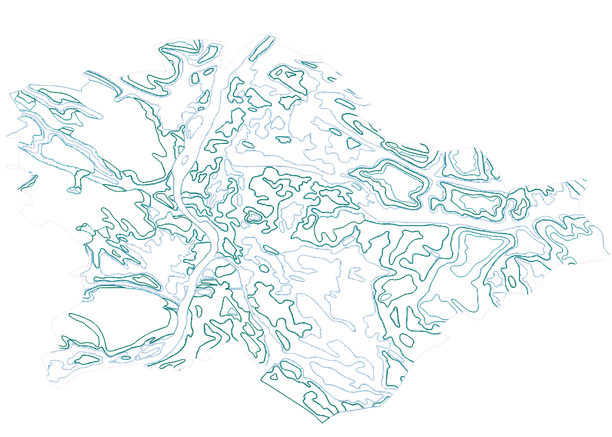
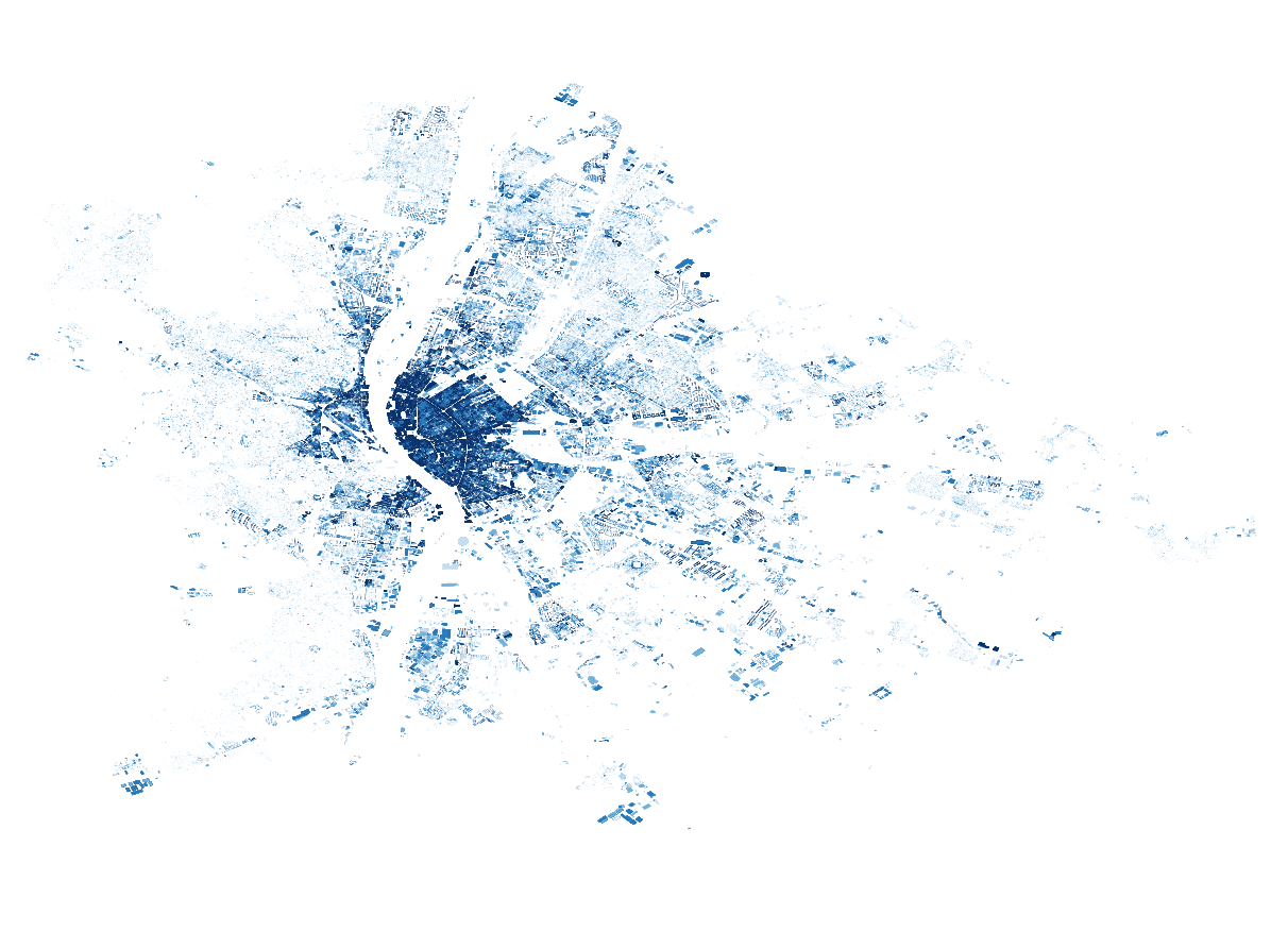
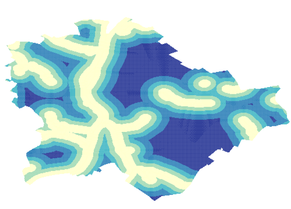
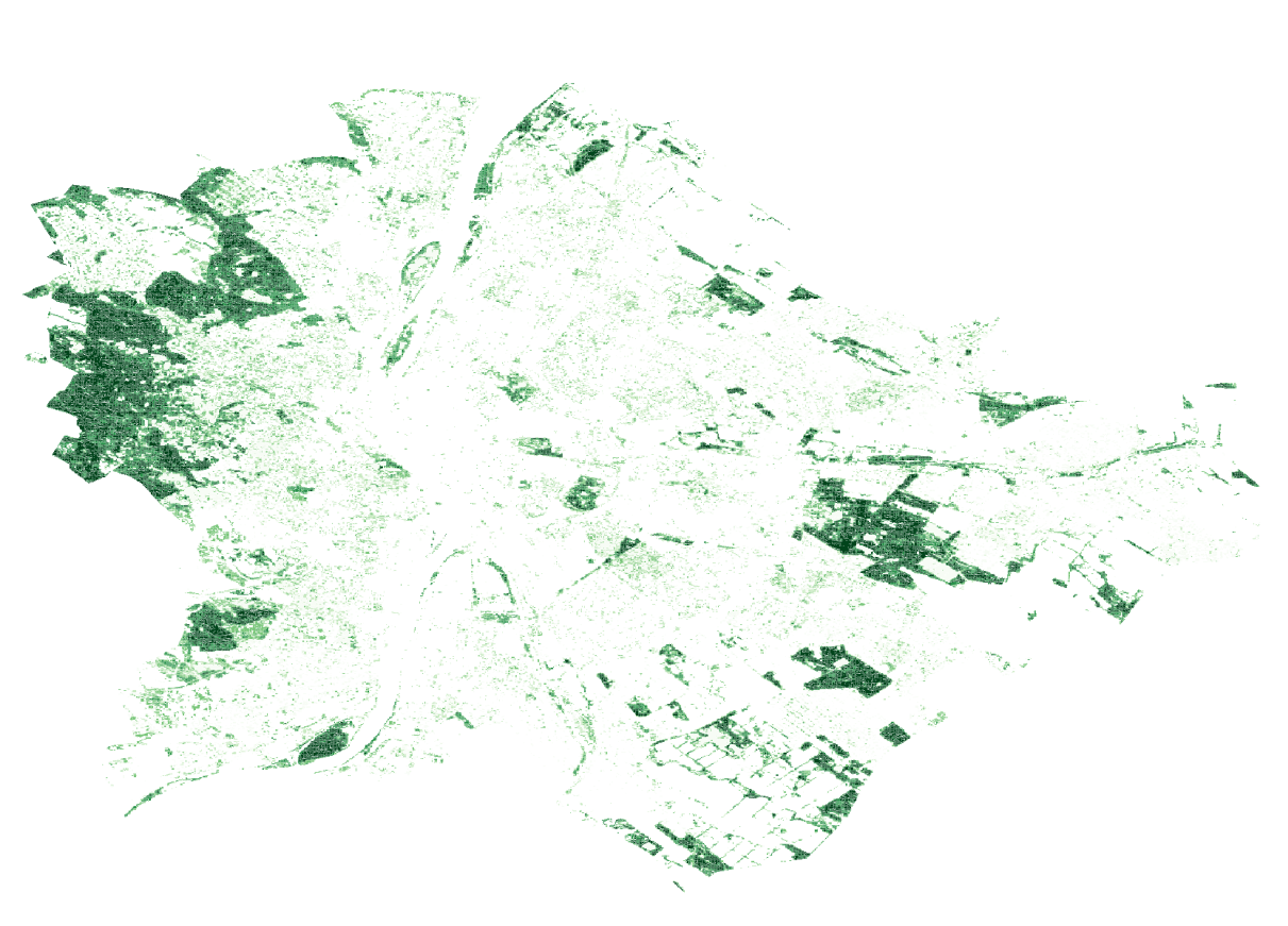
A GIS-based mapping study of Budapest developed in QGIS as preliminary research for a proposed new master planned community. By layering spatial data such as infrastructure, topography, land use, water systems, and urban form, the project studies the city to identify patterns, relationships, and existing conditions that can inform future planning and design strategies.


bottom of page